This area was at the heart of the developing town in the pre – railway era with dwellings spreading along the lanes towards Cowgate and the East Common, with weavers’ cottages extending down Nelson Street towards the Garpit Links. The town was expanding and along with the formation of the new coast road to Newport in 1830, the development of Castle Street and the spread of properties up the hill by Reform Street, is illustrated by the Scotscraig map of 1831. The disruption within the established church in 1843 and the arrival of the railway in 1848, both had a major influence on the physical and social character of the developing community. This is illustrated on the 1855 OS map of the area which also included the new Gas Works. The industrialisation which followed in the 1860s brought the development of Donaldson’s major Sawmill operation, which further radically changed the area. The post-railway era and the subsequent changes to the industrial landscape through the closure of the sawmill and cessation of commercial harbour traffic, has seen this area mainly redeveloped for residential use.
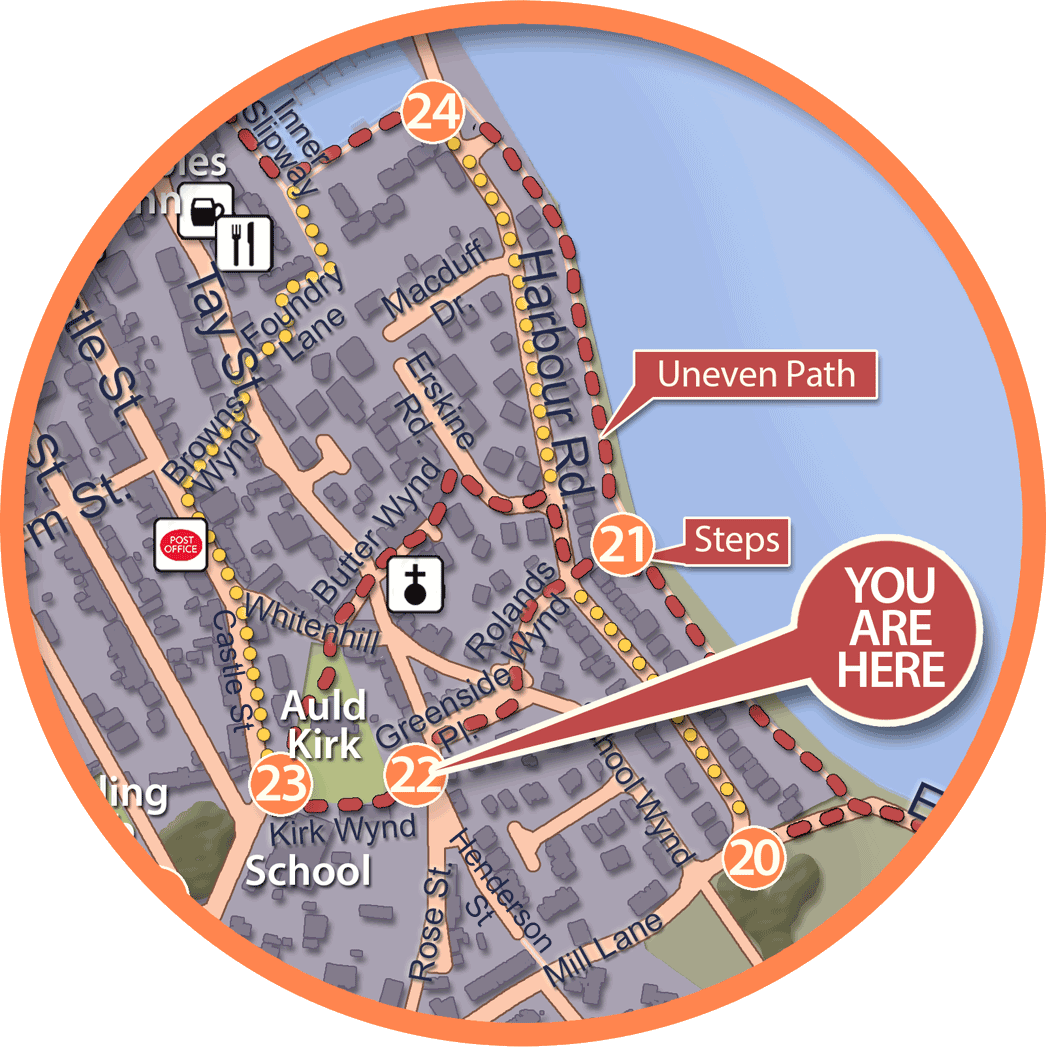
Greenside Place
Extract form Hope’s 1769 Map
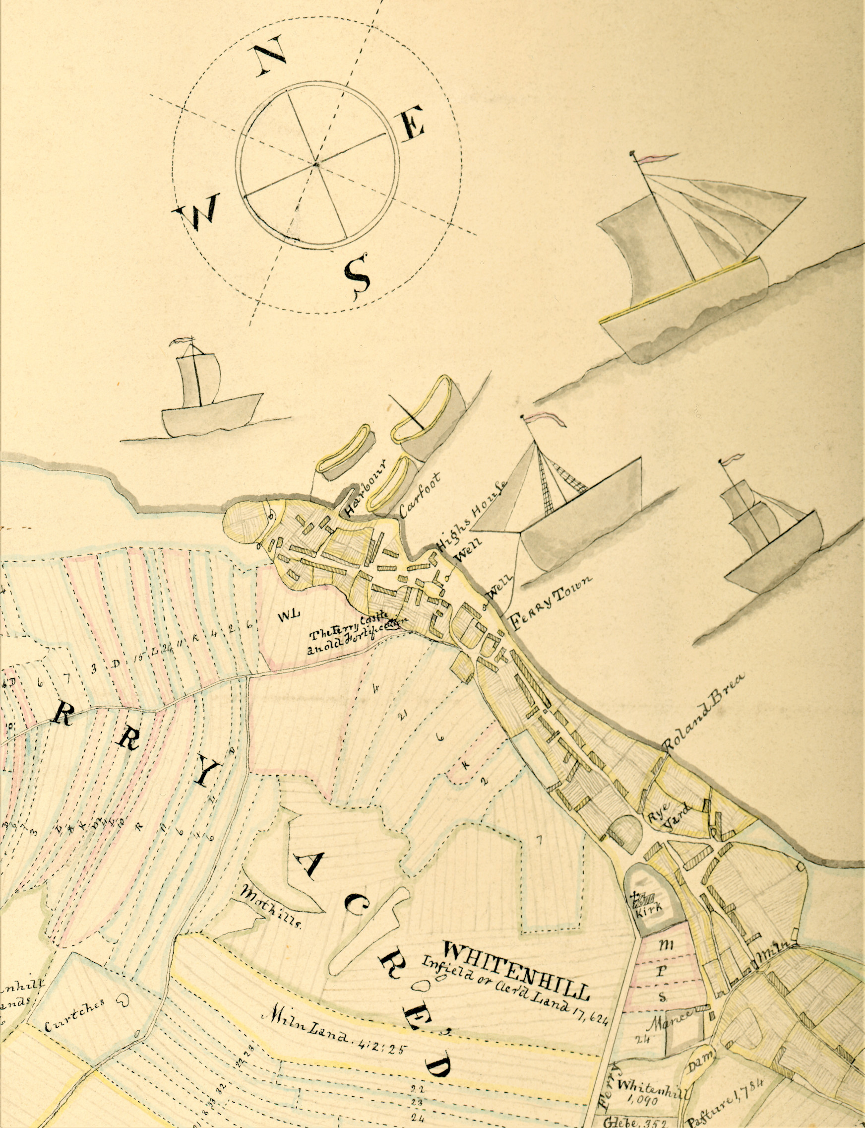
1830s Acredale Lands Feus Extract for Ferry-Port-on-Craig
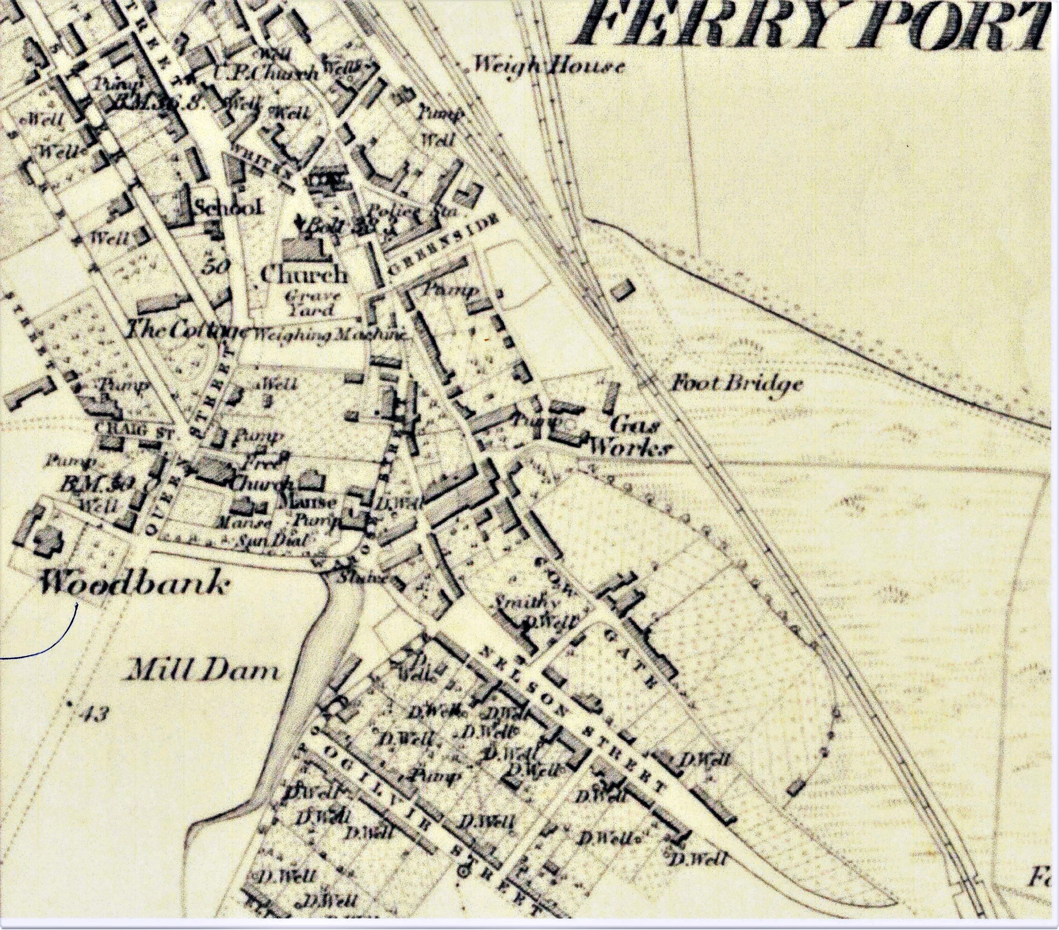
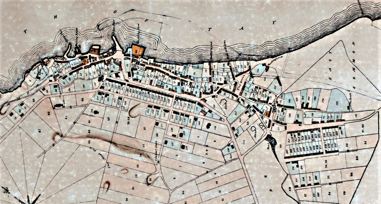
Extract from OS 1855 map prior to new public school
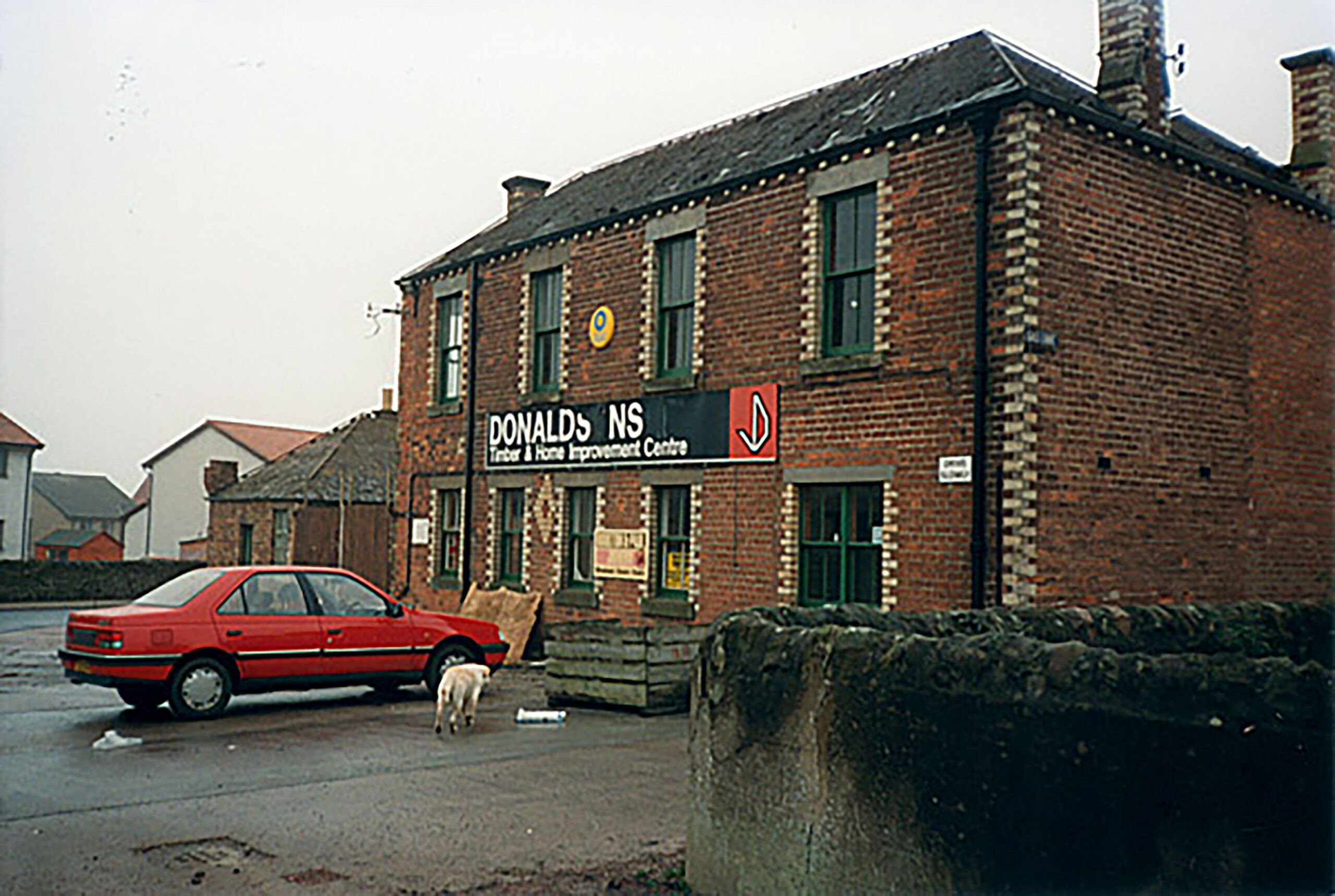
Sawmill office block late 1980s
Cowgate from junction with Nelson Lane looking towards Henderson St. & Greenside Place
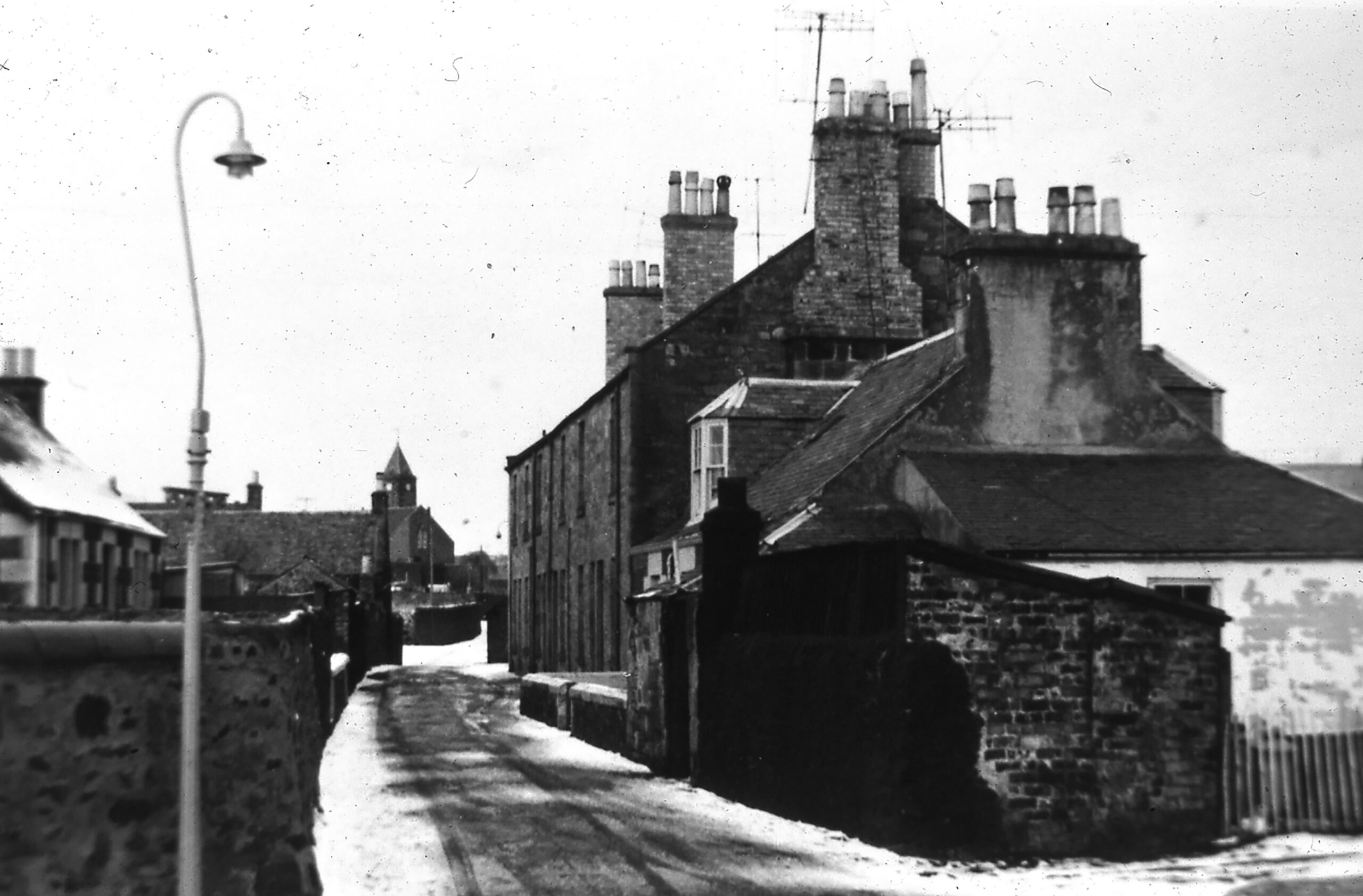
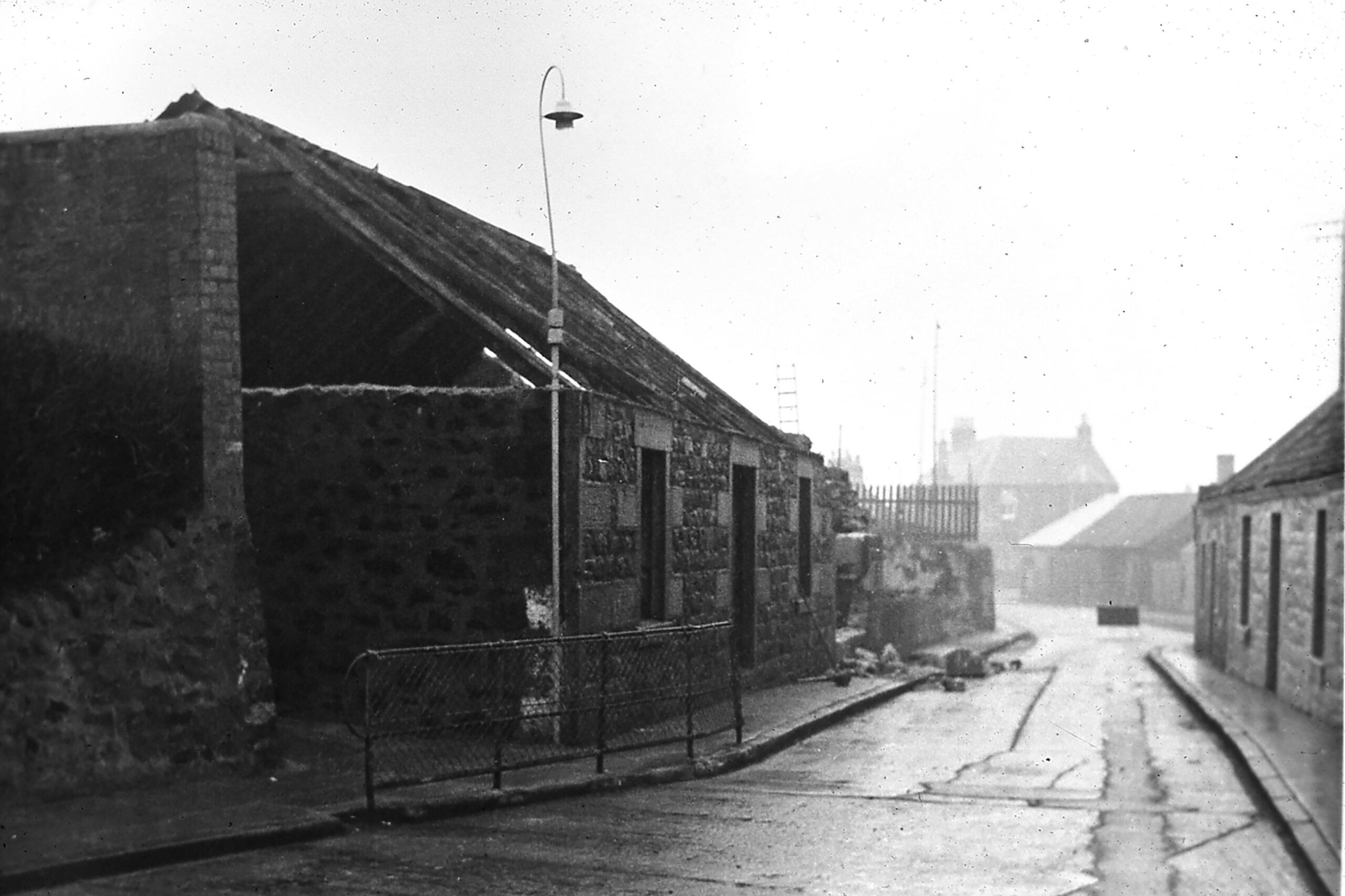
View from Mill Lane junction along Henderson St. towards Greenside Place
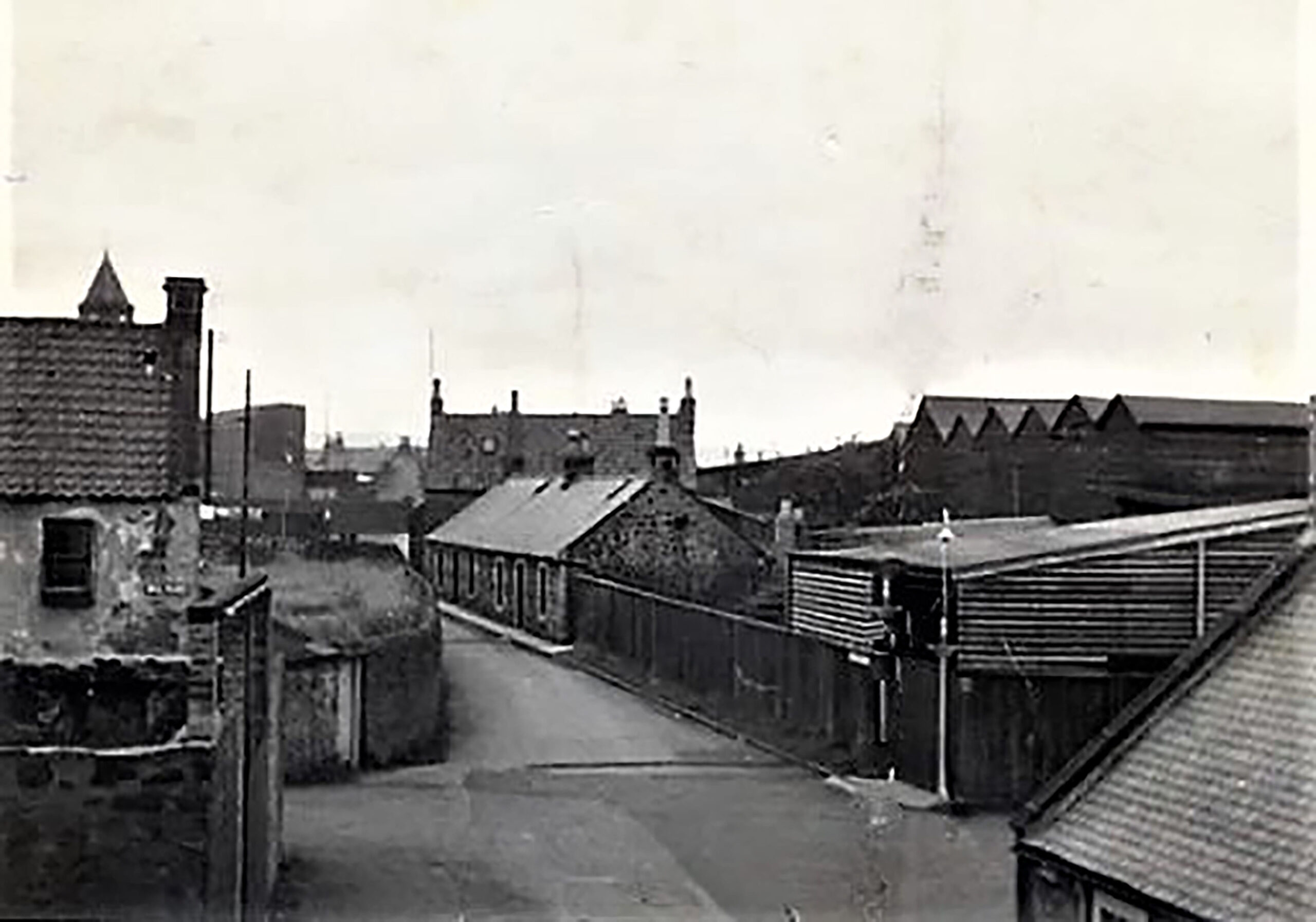
Demolition at foot of lane leading to the rear entrance of the school, with Greenside Place in the background.
Schooling in 1836
Schooling was described in the Statistical Account of that year by Rev. W. Nicholson, noted a doubling of the population of the parish from that of 875 to 1680. He reports that “Beside the parish school, there are two private schools, one of which is taught by a female, and is chiefly attended by girls.… besides the ordinary branches of education taught at the parish school, navigation, French, and Latin, are taught.… There are always five bursars or free scholars at the parish school, whose education is provided for by investment of a sum of money by the late William Dalgleish, Esq. of Scotscraig, ………The heritor and the minister of the parish have the power of appointing to the benefit, which is restricted to boys.”
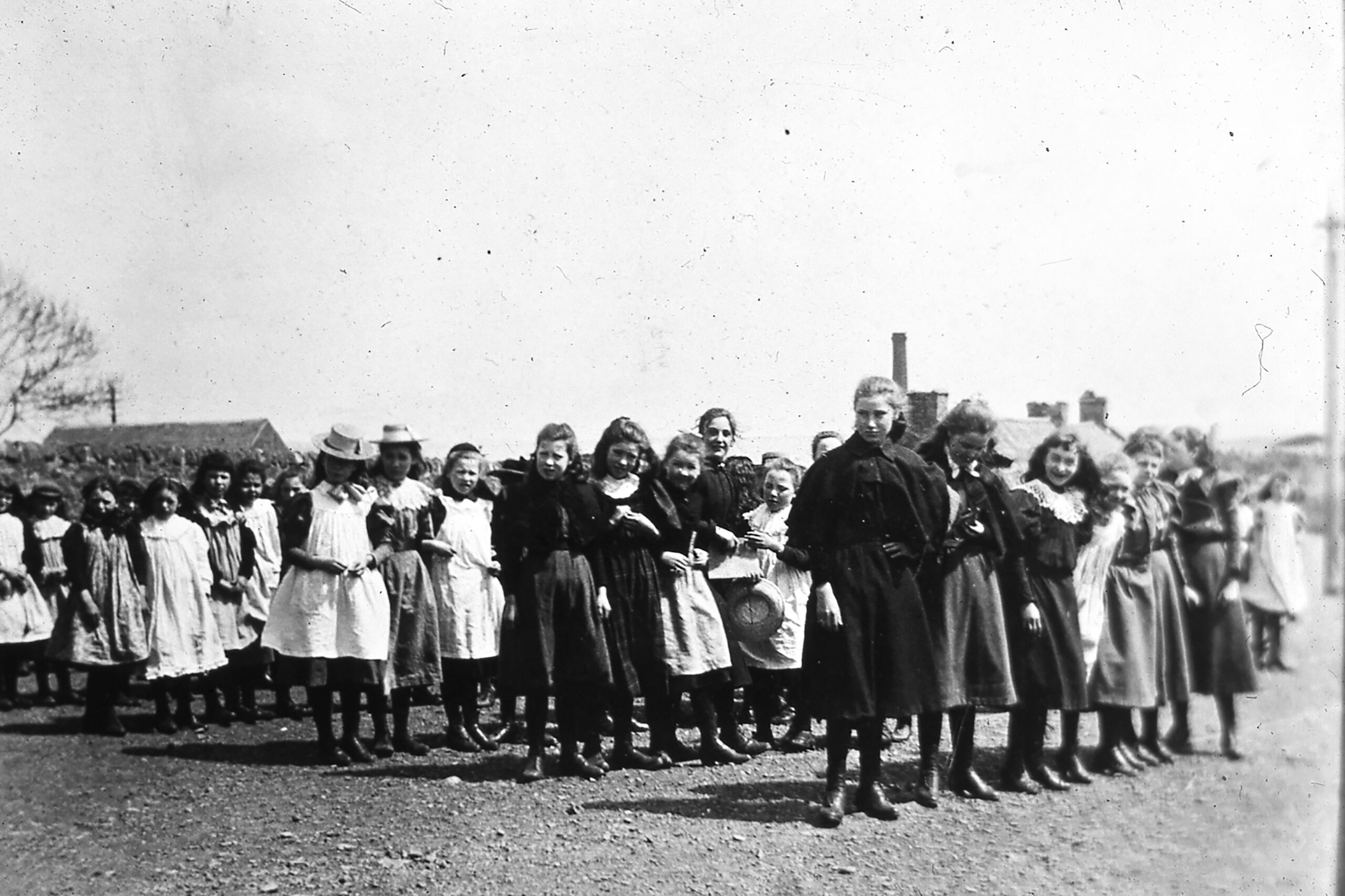
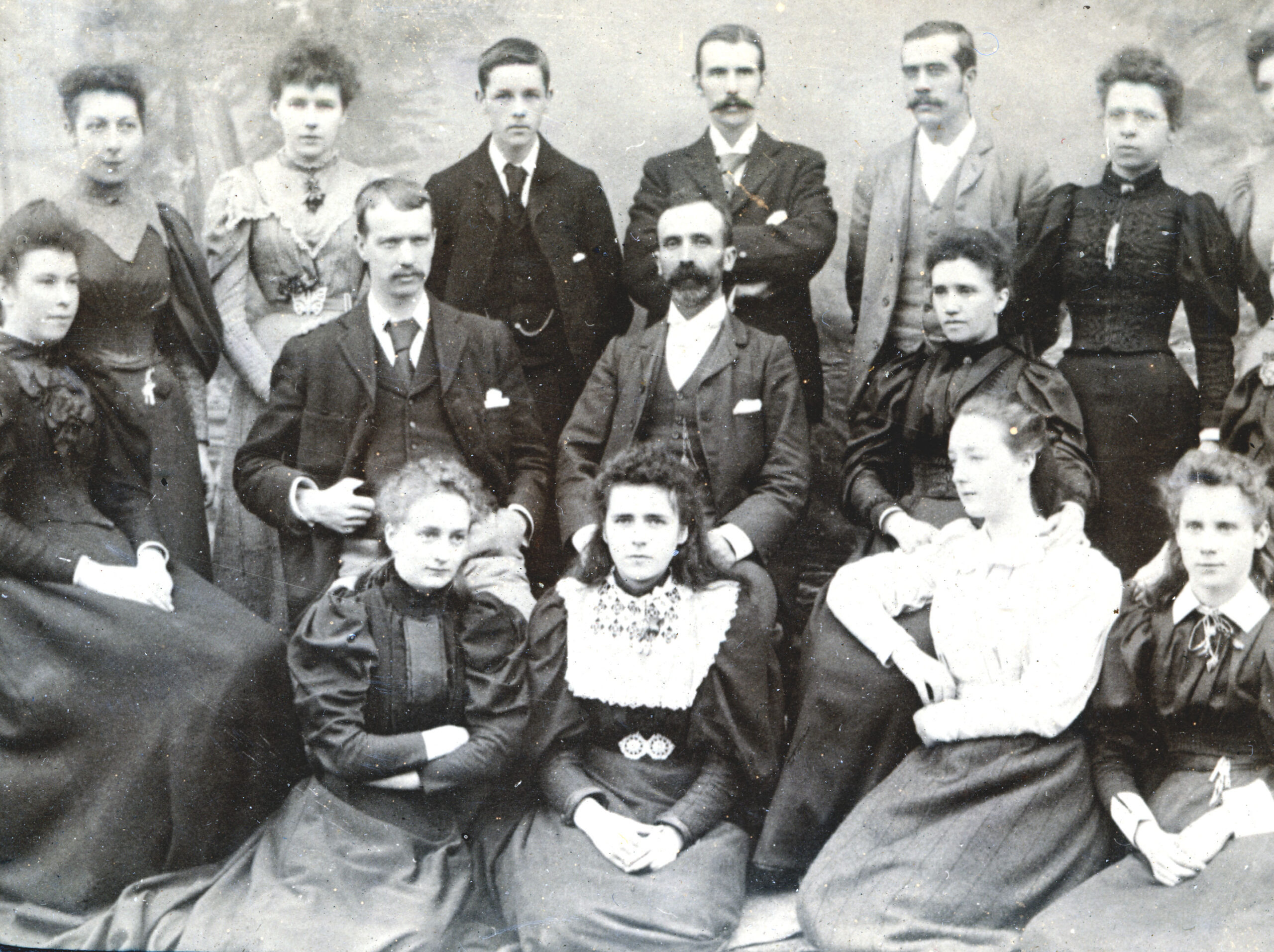
Late 19th century school girls
Late 19th century school girls
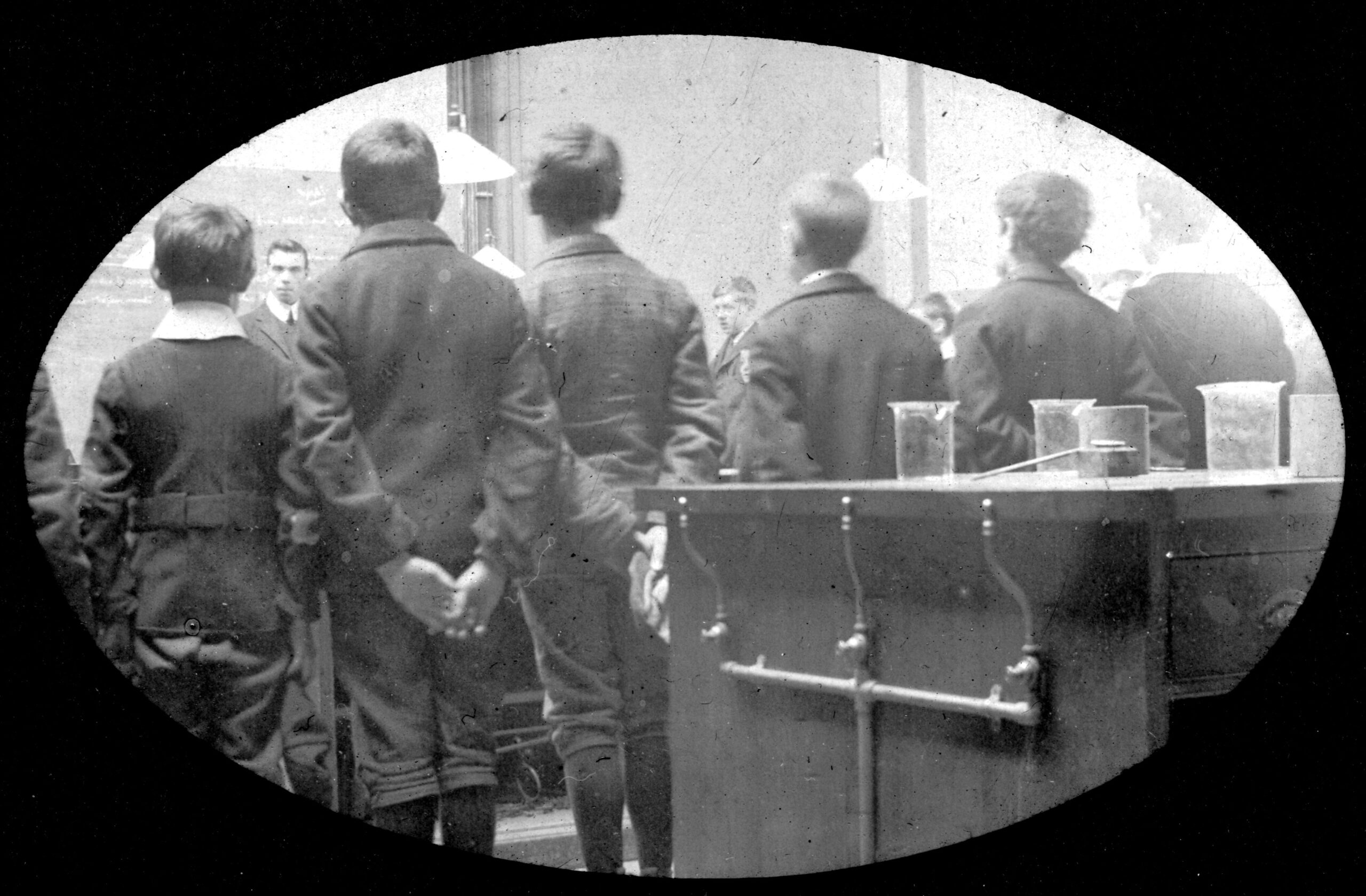
Tayport High Grade School physics lab
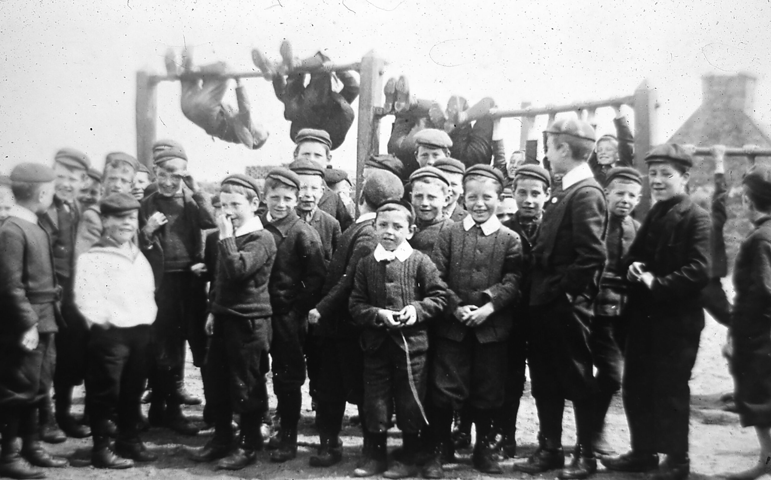
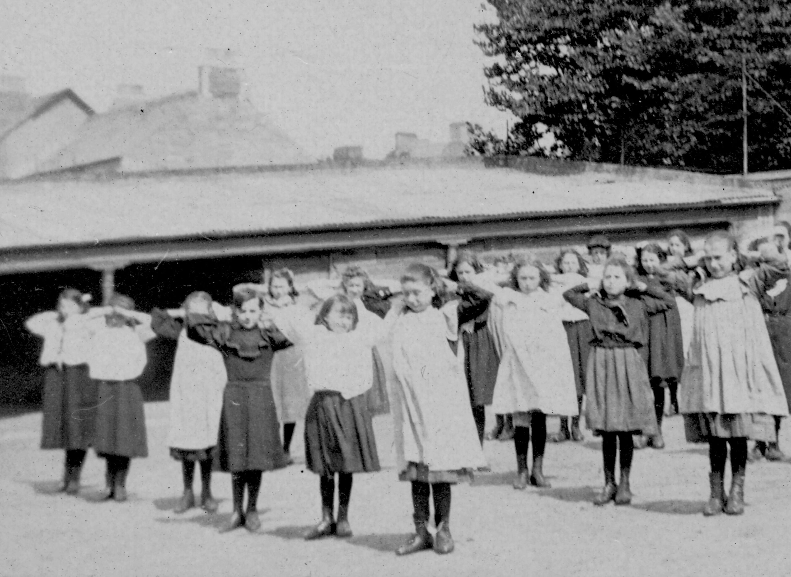
Late 19th century school boys
Increased Educational Needs
These were addressed by the 1870 Education Act and were met in 1876 by the building of a new public school at a cost of £3,220, on what had been the site of a market garden. It was initially attended by 392 children whilst also 140 were educated in private venture schools. The building was extended in 1900 and again in 1938. Pre- school nursery education is now carried out in what was originally the subscription school building in William Street. This building also previously catered for primaries 1 and 2 until secondary education ceased to be provided at Tayport in 1967. Thereafter secondary education continued at both Bell Baxter High School in Cupar and Madras College in St Andrews. Since 1982 all Secondary schooling has been carried out at Madras College, whilst private education continues to be available nearby in either St Andrews or Dundee.
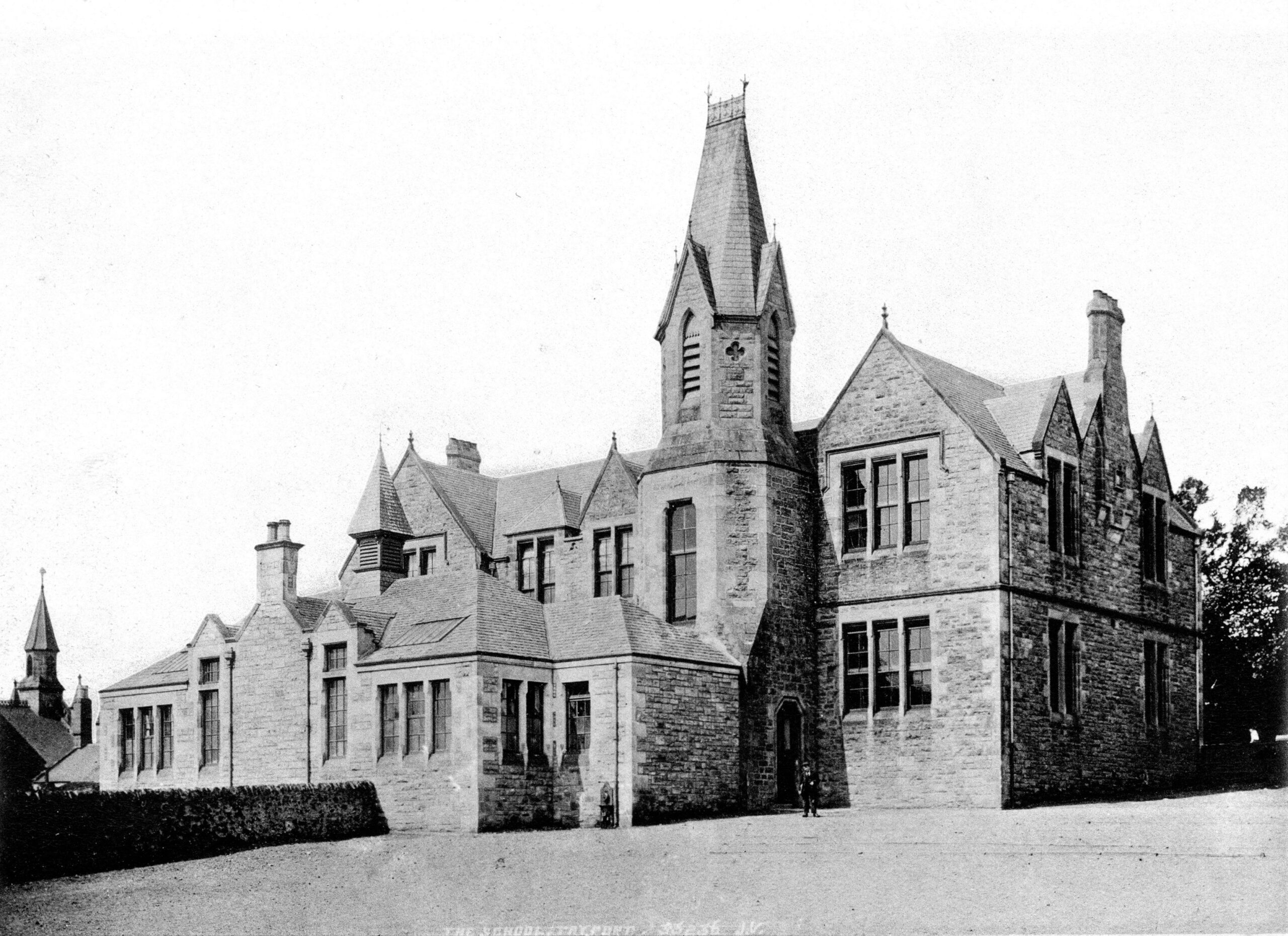
Rear of new school early 1900s