Entering the River Tay could be a challenge for the early sailing ships under a combination of adverse weather and tidal conditions. J. S. Neish (1890) relates a story from circa 1840 when a ship was wrecked on the shore near Lucky Scaup with a cargo of wine kegs. “ On Lucky there was wine for nought; They say there was a battle fought ………..The church bells rang but few did meet, There was many an empty seat, The people ran with nimble feet, In a hurry for the wine kegs.” The poem recording the minister’s dismay at the painfully thin church attendance was recorded in song for the short prize winning film “The Wine Harvest” produced in 2000 by Yvonne Cook and Hamish Tough to reflect the local practice of recounting significant events in verse.
The Shoreline
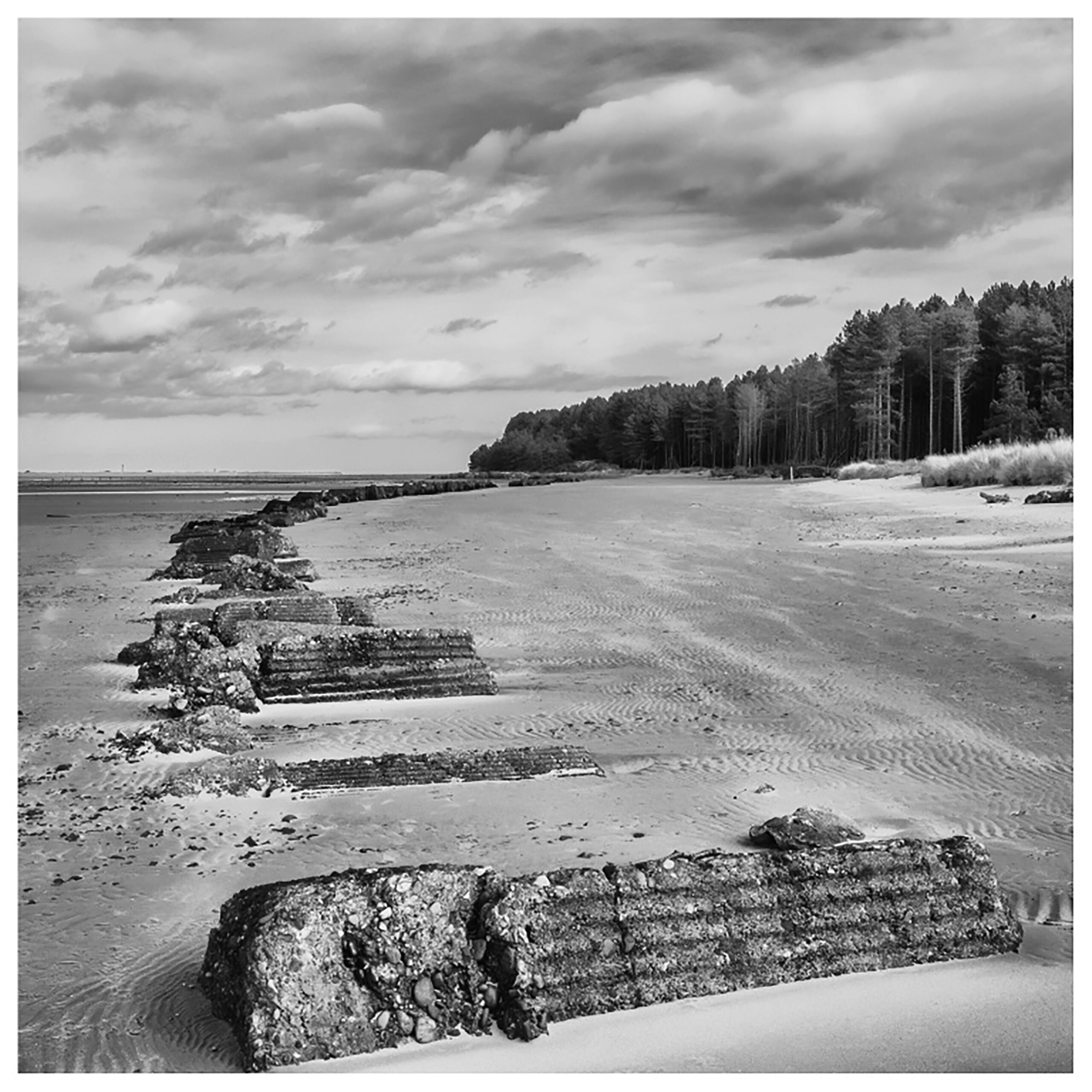
Shoreline 2020 with remains of WWII definsive barrier
Shoreline pre-WWII
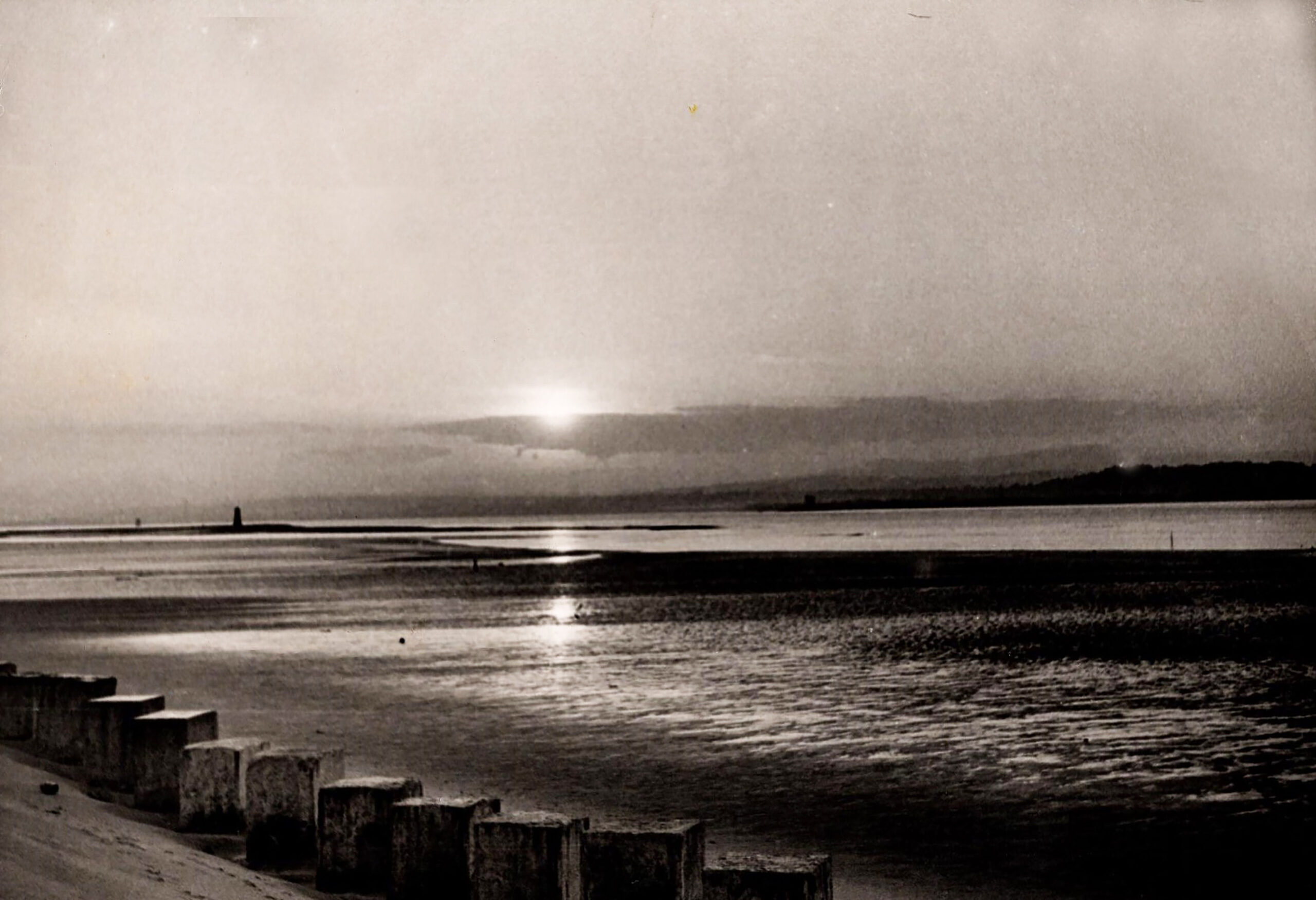
WWII Shoreline with moonlit Lucky Scalp
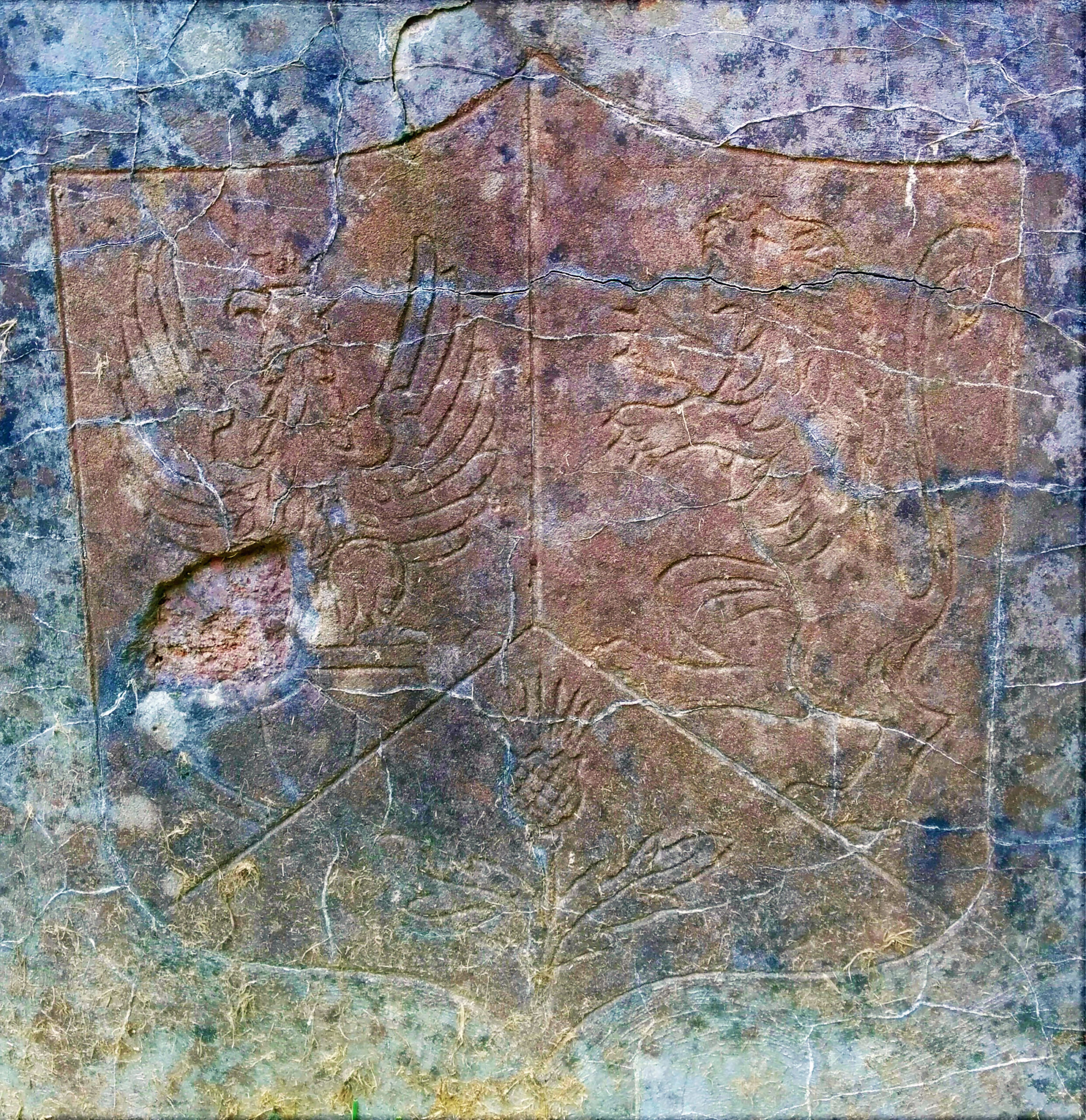
Badge at Polish Army Camp location
Post WWII shoreline
World War II
The war brought the threat of a potential invasion force landing on the sandy beaches of Tentsmuir. This resulted in an extensive system of linear defences being constructed by the Polish Army between RAF Leuchars and Tayport, as far as the location of panel 21. The Polish Army had a large presence throughout Fife during the early years of WW II including in 1942 :-1st Rifle Battalion, (Tents Muir), 1st Engineer Company, (Tayport) and Searchlight Platoon, (Tents Muir). www.Rothwell.force9.co.uk/polisharmyUKFeb42.htm Polish Camp Road in Tentsmuir and the extensive remains of the beach defences are testimony to the welcome Polish presence, some of whom settled in the area after the cessation of the conflict. Polish Camp Road identifies the location of their billets where both the Polish Eagle and the Scottish Lion emblem were formed on the side of the well.
The Meteorological Station
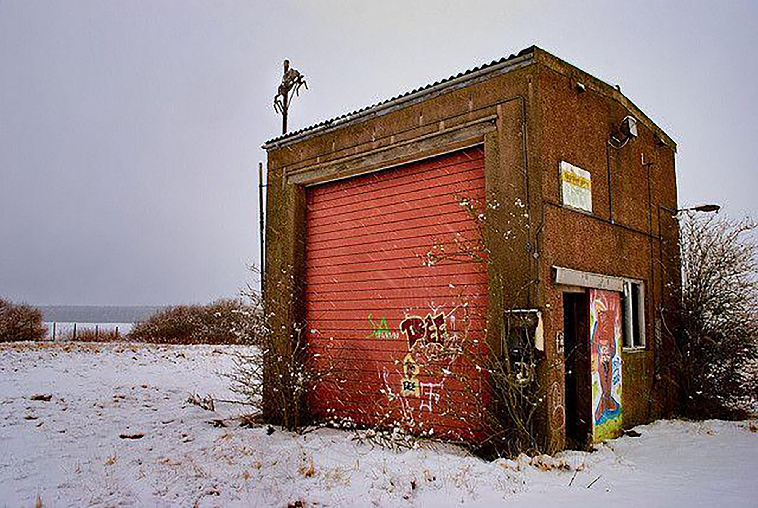
Derelict former Shanwell Upper Air Station/ Meteorological Station
The Shanwell Upper Air Station was established in the late 1950s when the facilities were transferred from RAF Leuchars. It was taken over by the Met Office in 1981 and closed in 1992 leaving the abandoned complex as a reminder of the extensive operation. The weather balloons became a familiar sight throughout the town during this period as they quickly rose above the clouds 4 times daily.
The Shanwell Farm
The farm was shown originally on the 1769 Hope Map included in a large area described as “Shaunwell Links” as well as “Easter Fethers”, both of which are now part of the forestry area. The farm was also often referred to as The Channel and bounded by the Garpit Links and also the Morton Farm, which formed the march with “the Lordship of Luchers”. The Auld Kirk graveyard contains the lair 137 – John Pattie tenant Channel 1806 and the stone is recorded with the mark of a plough. The house and steading was constructed in the 1820s by the Dalgleish family as Lairds of Scotscraig. The proximity to Tayport of RAF Leuchars was underlined as early as 1930 when a Fairey 3EF aeroplane got lost in fog and crash landed in a field at Shanwell Farm. Fortunately, the three airmen on board escaped with minor injuries
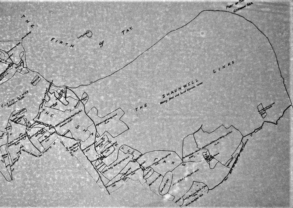
Extract of (copied) 1769 Hope Map
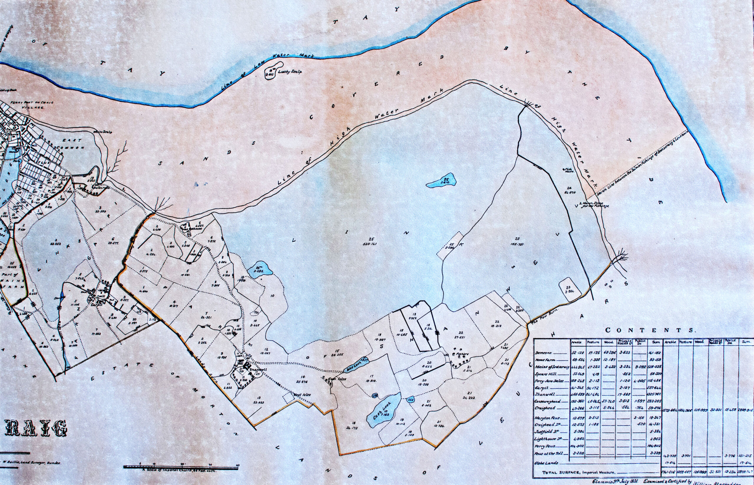
Extract of 1831 Scotscraig Estate Map
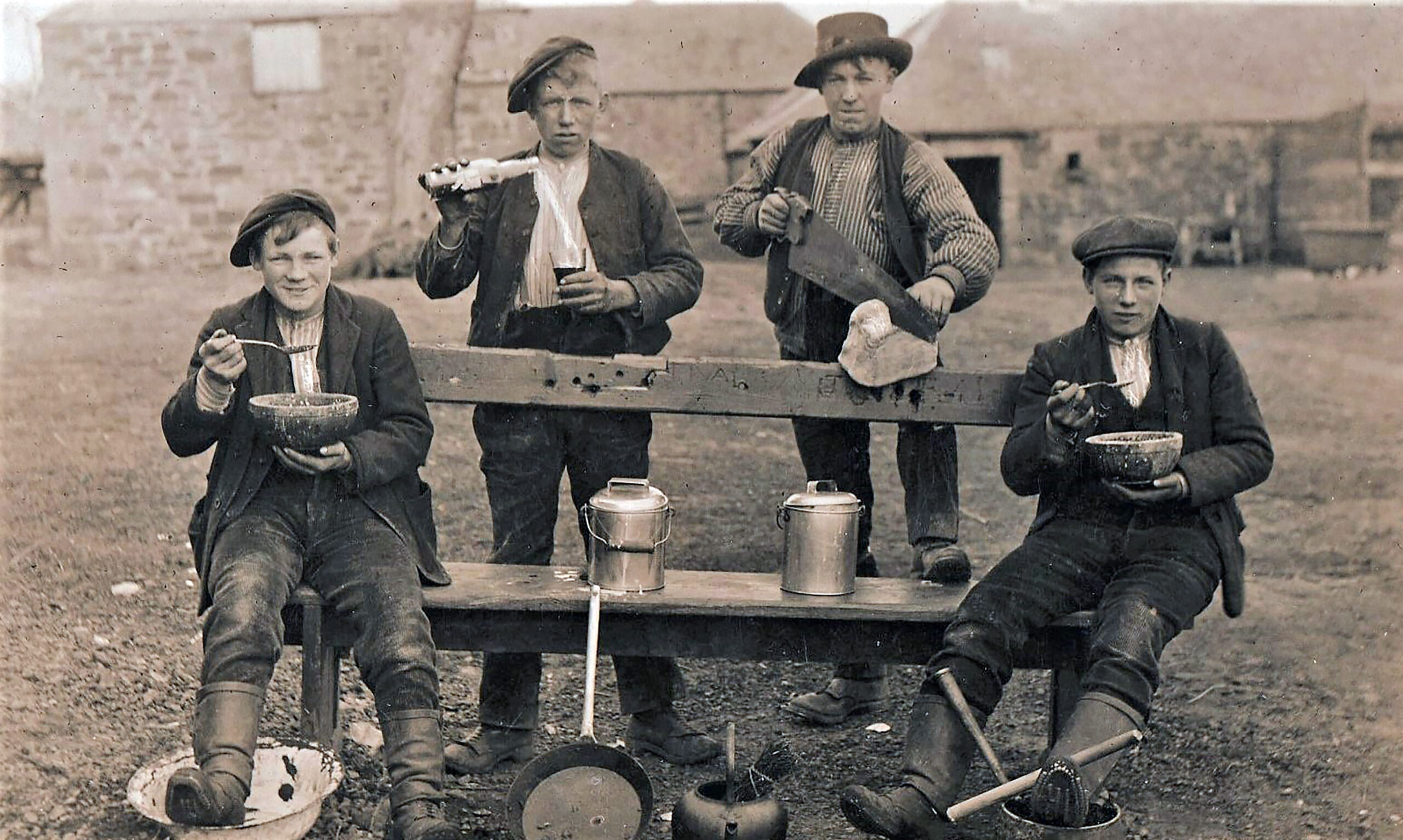
Shanwell farm bothy lads 1912 l-r/ G.Hanlin, J Bisset, R Ramsay & W Briggs
A Military Exercise
A peacetime military presence descended on the community in 1970, when Army engineers established both a temporary residential camp in the Craig Meadow field beside Coffin Walk and a large stores area on the Canniepairt, close by the former council rubbish tip. The objective was to provide a temporary fuel supply pipeline route from a loading point in the river outside Tayport harbour and then onto RAF Leuchars. The Tanker R.F.A. Green Rover duly pumped fuel ashore via a specially constructed transfer pipeline/connection at the harbour and onwards to Leuchars via a temporary surface pipeline through the roads of Tentsmuir forest. The military left the immediate area in an improved condition which facilitated the formation of the enclosed football ground on the area of the former Canniepairt Farm.
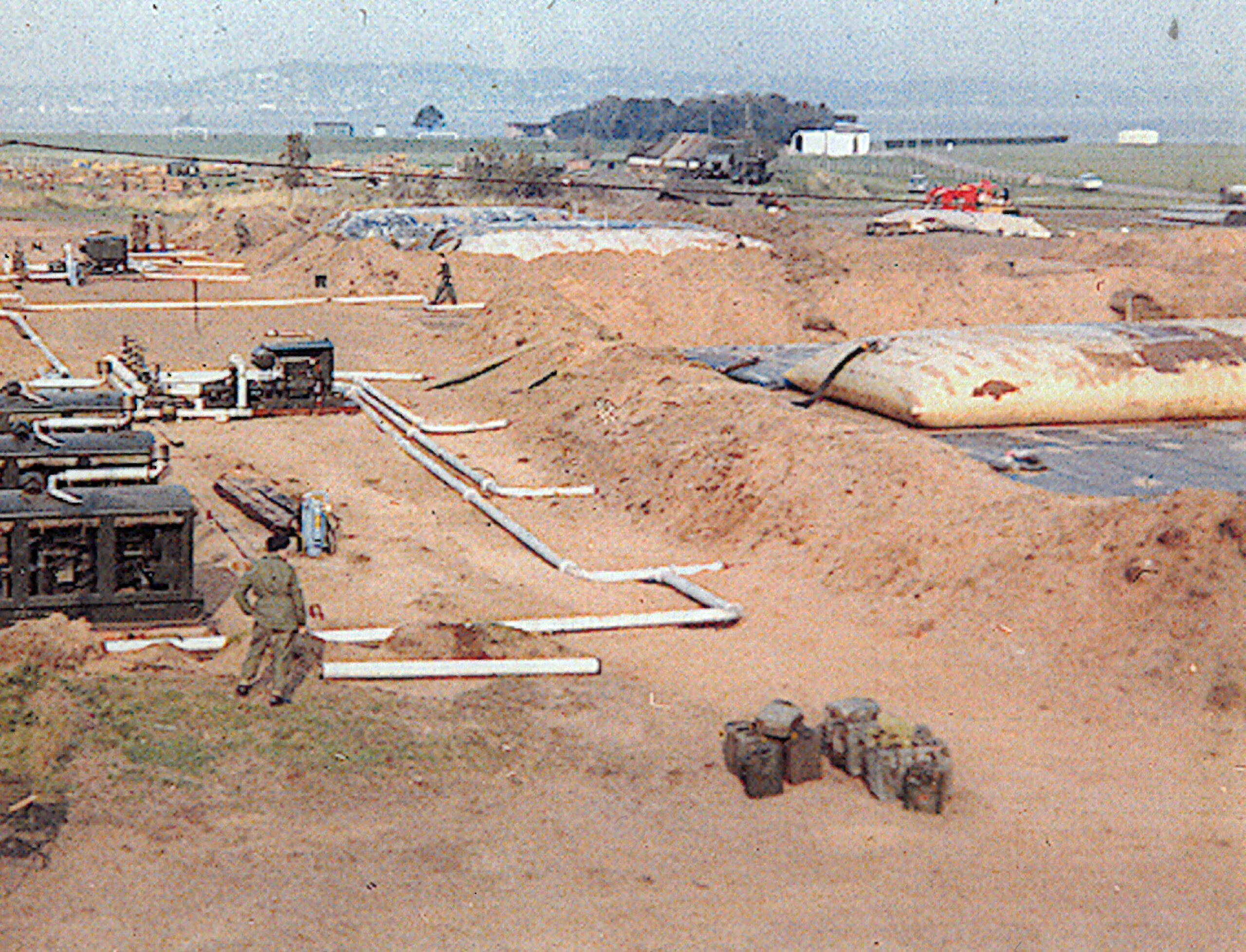
1970 Army Exercise on Canniepairt (Polex Leuchars)
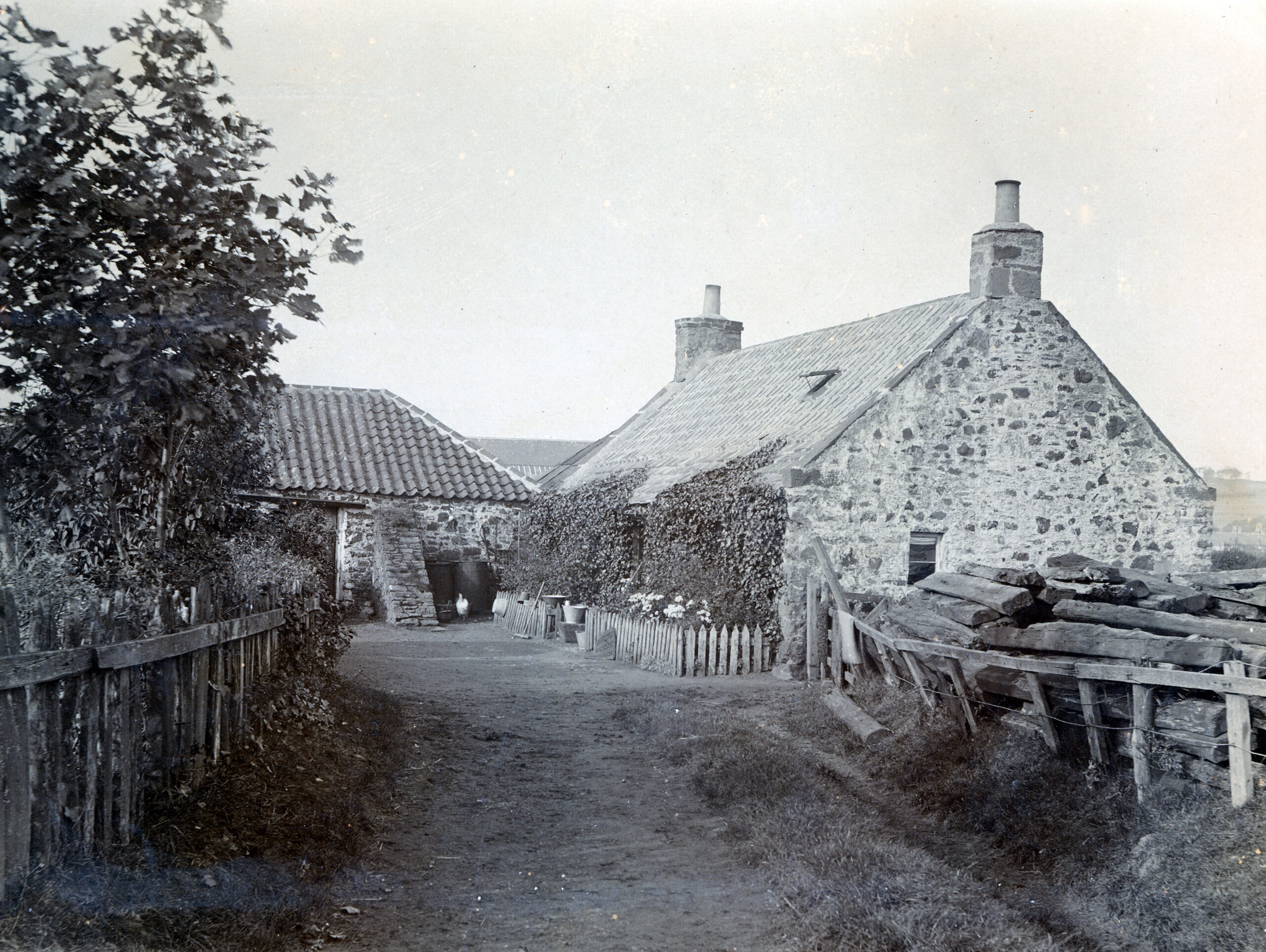
The Canniepairt Farm
A 6 acre tenancy from Scotscraig Estate, which included an acre of uncultivated sea grass and also had grazing access to the Common. On the 1769 J Hope Map of Scotscraig Estate it is recorded as Ballirnie’s Feu. It was farmed from 1874 by the Robertsons and their extended family for a 55 year period, and their first description of the farmhouse cottage was “… the house is not so bad. The room end has been papered and has a good flag floor. There is two beds in each end only the ceiling is just jists but they are white washed …. A good roomy byre with three stalls and the barn has a dead floor.” They were often reported as the first in the district to commence cutting their rye and supplied milk & eggs to those families in Henderson’s Land and nearby. Their association with this area of land continued through their descendants the Oswald family, who initiated the development of the area for the Football Club in the 1970s and also played a leading role in guiding the Club to their subsequent period of major success (refer to tenancy letters in the Gallery section).